Lost guests are an operational problem: what GPS wayfinding changes on large campsites
Campsite wayfinding uses a property-specific digital map and the guest’s location to guide them between entrances, accommodation units, facilities and other points of interest. It is most useful when public maps do not understand the internal road and path network. Routing quality depends on accurate spatial data and the implementation.
Public navigation is very good at solving the journey to a campsite. The difficult part can begin after the guest turns through the gate.
Large outdoor-hospitality properties have private roads, pedestrian paths, numbered pitches, internal zones, service areas, one-way sections and points of interest that may not exist accurately in mainstream mapping services. Add a caravan, a tired family and an arrival after dark, and a simple orientation problem becomes an operational one.
The last kilometre is not really one kilometre
A navigation app may announce "You have arrived" when the guest reaches the campsite address. For a compact 40-pitch property, that may be enough. For a resort spread over a large coastal area, it can be the start of a second trip.
The guest still needs to understand:
- which entrance to use;
- where reception or check-in is;
- which internal road leads to the assigned zone;
- whether a route is suitable for a car with a caravan or a motorhome;
- where the numbered pitch actually sits;
- how to reach a restaurant, beach access, sanitary block or activity once settled.
If the answer is always "follow the signs and ask if you get lost", the campsite has designed wayfinding around staff availability.
Internal navigation needs a different map
The map used by a public navigation service is optimised for public roads and broadly mapped places. A campsite map can contain a more detailed private spatial model: roads, paths, entrances, pitch geometry, buildings, facilities and local points of interest.
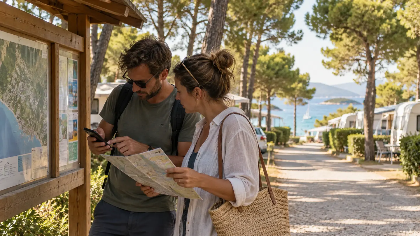
CampsAbout includes GPS-based navigation inside the campsite, using the user’s current location to calculate a route to accommodation units, facilities and points of interest. This is particularly useful on large or complex properties, where public navigation apps often know the road to the entrance far better than the private roads and paths inside the campsite.
The important idea is not simply "GPS". It is that the routing graph is built around the property rather than around the public street network.
Arrival is the highest-stress use case
A first-time guest arriving with a caravan is not browsing the property leisurely. They may be watching traffic, avoiding tight turns and trying not to stop in the wrong place. The map needs to respect that context.
A useful arrival flow might begin in the confirmation or pre-arrival message with a direct link to the campsite map. The guest sees the correct entrance, reception or check-in point and, once appropriate, the route to the allocated unit.
For late arrivals, the same logic can be even more valuable because fewer staff may be visible on the property.
That does not mean promising fully autonomous or unattended arrival unless the campsite’s broader systems support it. Wayfinding is one layer of the arrival process, not the whole process.
Navigation becomes useful again after the caravan is parked
The second major use case is everyday movement.
Where is the closest sanitary block? Which route gets us to the pool? Where is the supermarket? How do we reach a particular restaurant? Where is the children’s activity? Is the beach access through this path or the next one?
For a guest on foot, the useful route may differ from the one used by a vehicle. More advanced implementations can distinguish travel modes, while even a simpler setup with a clear current-location marker, searchable points of interest and an accurate path network can remove much of the spatial uncertainty.
Good wayfinding starts with mapping the real operational rules
Before implementing navigation, operators should map more than geometry.
Ask:
- Are any internal roads one-way?
- Are some roads closed to guests but open to staff?
- Are there pedestrian-only paths?
- Do vehicle restrictions change by season or time of day?
- Are there gates or barriers that require access rights?
- Are some routes unsuitable for larger motorhomes or caravans?
- Do temporary event layouts change circulation?
Not every map platform will support every rule. The point is to identify the rules before assuming that a shortest-path algorithm represents a sensible guest route.
Test under the conditions that create complaints
Wayfinding should be tested like an operational service, not only like a website feature.
Walk and drive the routes. Test a weak mobile signal. Test under dense tree cover where GPS accuracy may vary. Try the map after dark. Test with a guest who has never seen the campsite. Check whether a route crosses an area that looks technically passable on the map but is awkward in reality.
If accessibility routing, emergency routing or vehicle-dimension routing is required, treat those as separate, explicit requirements. Do not imply them from a generic navigation feature unless they have been designed and verified.
Navigation can also expose where physical signage is weak
Digital wayfinding does not make signs obsolete.
In fact, the two systems should reinforce each other. If the map calls an area "Zone Pine" while the physical sign says only "P3", the guest is still translating. If route instructions use landmarks or junctions that are poorly marked on site, the digital experience will reveal the mismatch.
A useful wayfinding project therefore often improves the spatial language of the whole property: digital labels, physical signs, booking descriptions and reception explanations begin to align.
Measure what wayfinding is meant to improve
Instead of relying on generic success promises, define the operational signal you want wayfinding to change before implementation.
Possible measures include:
- map opens from pre-arrival communications;
- successful searches for pitches or points of interest;
- navigation starts and completed route sessions where technically measurable;
- reception questions about directions;
- late-arrival support calls;
- guest feedback mentioning difficulty finding accommodation or facilities.
The target is not maximum map usage. If a guest reaches the pitch without confusion and never needs navigation again, the tool may have done its job perfectly.
A campsite is a place. Its digital experience should understand place.
Wayfinding shows the difference between a decorative interactive map and a tool that solves a real problem. The value comes from connecting digital information with physical movement through the campsite.
For small sites, a clean map may be enough. For large campsites and holiday resorts, location-aware navigation can turn the property map into an active guest tool from arrival through the stay.
And the question is refreshingly practical: once the guest reaches the gate, can your digital experience still tell them what to do next?
Sources
- CampsAbout - Navigation inside the camp
- Esri - Indoor Navigation & Positioning
- Esri - Indoor Mapping & Wayfinding
- Esri - Low-Staff Hotels Flourish, Fueled by Pandemic