Your campsite is digital. Why is your map still a PDF?
An interactive campsite map turns a static plan into a digital interface guests can search, filter and use to understand individual pitches, accommodation units, facilities and routes. When connected to other systems, it can also support map-based booking, live availability and navigation. The exact scope depends on implementation.
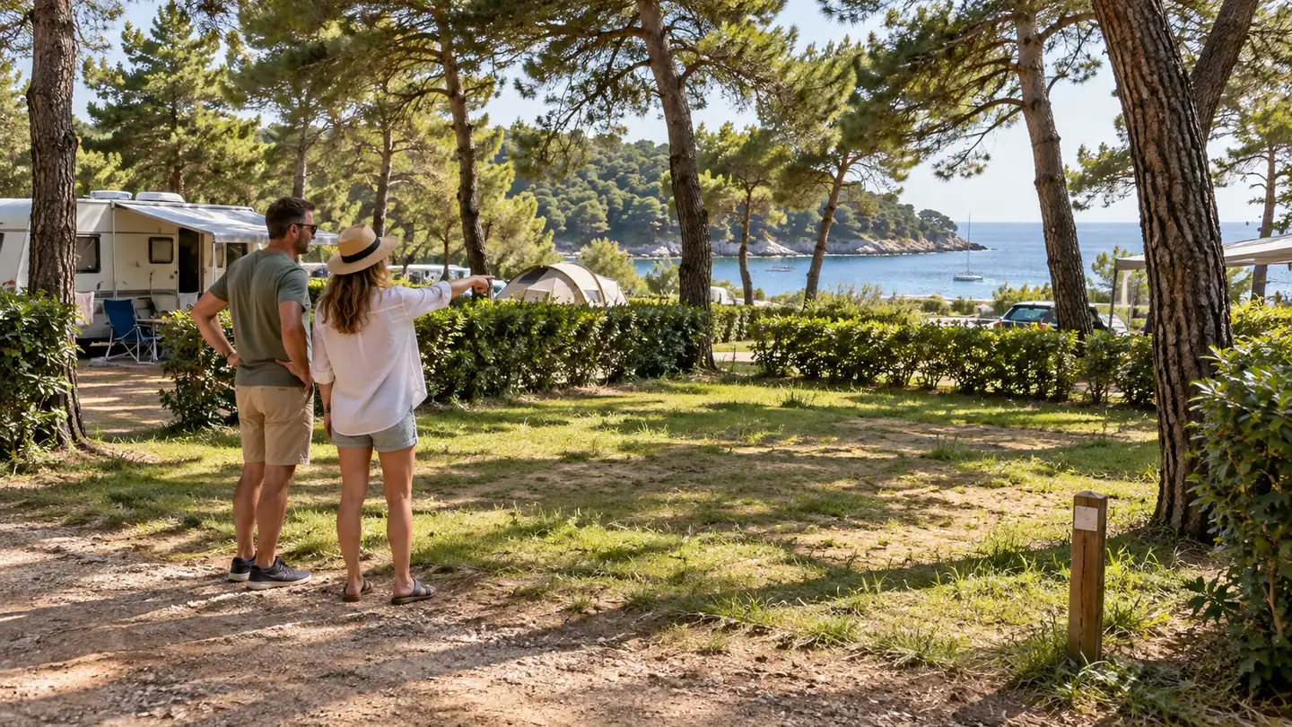
A campsite can have online booking, automated confirmations, digital payments and a polished mobile website, then ask the guest to understand the property through a PDF designed for printing. That mismatch matters because camping is unusually spatial. A pitch is not just a product code. It has a position, orientation, neighbours, shade, access, distance from the sea or sanitary facilities, and a relationship to everything around it.
A PDF solved yesterday's problem
The printed campsite map has done an important job for decades: show the overall layout and help people find their way. A downloadable PDF is simply the digital version of that object. It is familiar, cheap to distribute and still useful as a backup or print option.
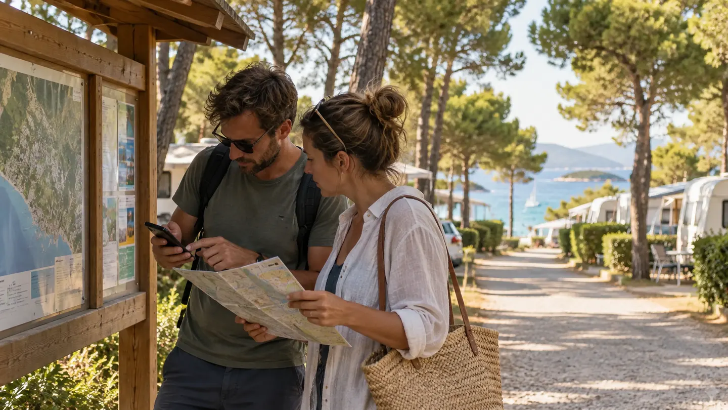
The problem is that it remains a document. Guests have to zoom, interpret symbols, cross-reference pitch numbers and mentally estimate distances. On a phone, a dense map can quickly become a miniature poster rather than a useful interface.
That is especially limiting before booking. At that moment the guest is not asking only, "Where is pitch 214?" The questions are closer to: Is it near the sea? How far is the sanitary block? Is the playground close enough for the children but far enough not to hear it all evening? Can I reach it comfortably with a larger motorhome? What is next to the mobile home I am considering?
A static map can contain some of those answers. It cannot adapt the information to the person asking the question.
Camping inventory is physical inventory
Hotels can often sell a room category while keeping the exact room number in the background. Campsites are different. Two pitches in the same commercial category can feel very different because their physical setting is part of the experience.
That makes the map more than a wayfinding asset. It is a visual description of the inventory itself.
A useful interactive map can allow a guest to search by unit number or type, filter relevant facilities, open a pitch or accommodation unit, see dimensions or amenities, understand distances and inspect surrounding points of interest. CampsAbout includes search, unit information, GPS-based navigation and 360° panorama views among its map capabilities. Depending on the property, those layers can be combined into an experience that gives guests the context they need at the right moment.
The real upgrade is not animation. It is context.
There is a temptation to judge digital maps by how impressive they look. Smooth zoom, 3D buildings and beautiful illustrations can certainly help. But the commercial question is simpler: does the map answer a decision-making question better than the PDF did?
For a guest, useful context might include:
- the exact location of the accommodation;
- distance from the sea, pool, sanitary facilities or entrance;
- roads, pedestrian paths and access points;
- relevant amenities and pitch attributes;
- photographs or 360° views;
- available dates or booking status, where integrated;
- a route from the current location to the destination.
The best interactive map is therefore not the one with the most layers. It is the one that reveals the right layer at the right moment.
From "Where is it?" to "Can I book it?"
This is where the map starts to become commercially interesting.
A guest may discover a particular area of the campsite, narrow the options, inspect a specific pitch and decide that this is where they want to stay. If the map ends there and the booking engine starts from zero, the guest has to translate that decision back into a category or search flow.
When systems are connected, the spatial decision can become part of the booking journey. Public examples already show this model in the market. Camp Čikat and Camp Slatina allow visitors to enter dates, see unit-level availability on an interactive map, inspect a chosen unit and continue to booking. Their public pages also combine photographs, 360° views and spatial information with the selection process.
That does not mean every campsite should immediately sell every exact pitch. Category-based, exact-unit and hybrid booking models can all make sense. The point is that an interactive map gives operators the option to make location part of the commercial experience rather than leave it as an afterthought.
A map can also reduce the information gap after booking
Once a reservation is confirmed, spatial questions do not disappear. They change.
Where do we enter? Which road should we take with a caravan? Where is our pitch? Where is reception? Can we walk to the restaurant? Which sanitary block is closest?
An interactive map can stay useful throughout that journey. Instead of a document opened once, it can become a persistent spatial reference before arrival and during the stay. For large and complex campsites, GPS-based internal wayfinding can be particularly valuable because public navigation services usually understand the road to the campsite better than the private roads and paths inside it.
Do not replace the PMS with a map
A strong spatial interface should not create a second source of operational truth.
Availability, pricing, restrictions and reservation status normally belong in the systems that already manage them. The map should make those facts spatially understandable, not force teams to maintain the same information twice.
That principle matters when evaluating any interactive campsite map: ask where the data comes from, how frequently it updates, who owns unit IDs and what happens when a pitch is blocked or changed. A beautiful map that drifts away from operational data quickly becomes another manual task.
So, is the PDF dead?
No. A PDF is still useful for printing, downloading, offline reference and guests who simply prefer it. The mistake is expecting it to carry the entire digital guest journey.
The more useful question is this: what happens after a guest sees the map?
If the answer is "they zoom in and then go somewhere else to work out the rest", the map is still functioning as a brochure. If the answer is "they can understand the space, narrow the choice, inspect an option, navigate and, where enabled, continue to booking", the map has become part of the product experience.
The opportunity for campsites
Campsites have spent years digitising transactions. The next step is to digitise spatial understanding with the same care.
CampsAbout is built around that idea: the campsite map is not just a visual, but a spatial interface that can connect guest choice, navigation, booking and reception workflows. Not every campsite needs every layer on day one. But every campsite can ask the same useful question:
Is our map merely showing the property, or is it helping the property work?
Sources
- CampsAbout - Features
- CampsAbout - Interactive Camp Application
- Camp Čikat - Camping Pitches Map
- Campspot - Booking Layout FAQs