A campsite map is no longer just a map: how spatial data can connect guests, booking and operations
An interactive map can be more than an orientation tool. When the same location connects what guests see, what the booking system sells and what reception and operations work with every day, the map becomes a shared digital picture of the real campsite. Its value is not the number of features, but how many problems it makes simpler.
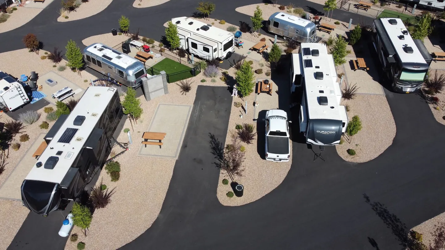
A guest booking a pitch is not thinking about a PMS, integrations or data models. They want to know where they will stay, what is nearby and how to reach the unit without getting lost. Reception sees the same space through availability, allocation and check-in. Operations sees roads, infrastructure and tasks. These are different questions about the same physical place.
That is where an interactive map stops being a prettier version of the campsite plan. When it is built on reliable spatial data and can exchange information with other systems, it becomes a common language between the digital system and the real property.
One campsite, several versions of the same reality
Business systems often see a campsite through tables and statuses. A PMS sees reservations and units. A booking engine sees categories, prices and availability. A maintenance system sees tasks. A guest sees a road, the sea, the neighbouring pitch, a playground and the distance to the sanitary block.
The physical property is where all of those records meet.
A spatial platform becomes useful when it reconnects information from different systems with the location where it actually matters. A pitch number is no longer just a database code. It is a place a guest can find, compare, book or navigate to.
The map does not need to replace the PMS, booking engine or other specialist tools. Its role can be simpler and more useful: make their information understandable in space.
When the digital pieces begin to feel like one experience
Booking, confirmation, the map, navigation and reception may be separate digital steps. Guests experience them as one journey.
If a guest selected a particular area or unit on the website, they expect the same information to remain clear in the booking confirmation, on the map and when they arrive. Every hand-off that forces them to search for or explain the same location again adds unnecessary friction.
A good digital campsite therefore does not need one giant system. What matters more is that the existing systems exchange enough information for the guest experience to feel connected.
The interactive map has a special role because it brings abstract information back into the real world: it shows where something is and what that location means to the guest.
Everything starts with an accurate picture of the real campsite
Before advanced features, the basics need to work. The smartest automation cannot compensate for a pitch in the wrong place, a unit with different names across systems or a map that no longer matches what is on the ground.
A strong starting point is simply to keep a few things consistent:
- every pitch and accommodation unit has a clear identifier;
- locations, roads and facilities on the map match reality;
- names and categories mean the same thing wherever guests or teams encounter them;
- ownership of updates is clear;
- different users can access the information they actually need;
- the map and booking journey use the same unit identifiers wherever possible;
- physical changes at the campsite are reflected in the digital view.
When that foundation is reliable, every next capability has something solid to build on. When it is not, technology simply multiplies inconsistencies.
How the map can grow with the campsite
Digitalisation does not have to be one large transformation project. The map can start with the simplest problem and gain new value as the campsite’s needs develop.
Step 1: Digitise the space
Create an accurate interactive model of units, roads, paths, zones and important points of interest.
Step 2: Make it useful to guests
Add search, filters, unit information, multilingual content, photographs or 360° views, and navigation where it is useful.
Step 3: Connect it with booking
Allow the choice of area, category or exact unit to continue naturally into a reservation when that suits the campsite’s commercial model.
Step 4: Use the same view in day-to-day work
The same location logic can help reception and other teams when they need to explain, find or compare units and facilities quickly.
Step 5: Add more only when there is a good reason
Larger and more complex properties can connect the same spatial view with additional operational information, infrastructure or multi-property management. That step is worthwhile when it solves a real problem, not simply because the technology exists.
The goal is not to have the most features. The goal is for every new capability to remove one real difficulty for a guest or a team.
What changes when the same location means the same thing everywhere
Simple things begin to connect. The unit a guest sees on the map can be the same one they choose in booking. A route can follow the real road and path network. Reception can show an alternative on the same view the guest already understands.
The biggest improvement is often not a spectacular new feature. It is the fact that a pitch number, zone name and map location no longer mean different things in different parts of the digital journey.
When the digital map begins to follow the real campsite
An accurate map is the starting point. It becomes more useful when the information on it can change along with the physical property.
If a facility closes temporarily, a unit changes status or the physical layout changes, the digital view only remains useful if it follows those changes quickly.
The principle is simple: the closer the digital picture is to what guests and teams actually find on the ground, the more confidently they can rely on it.
The best campsite technology is often the technology guests barely notice
Outdoor hospitality contains a useful paradox: the better the technology, the less it needs to feel like technology.
Guests come for space, nature, water, freedom and time with family. A digital tool earns its place when it removes uncertainty before arrival, helps people choose, gets them to the right pitch and answers a practical question before it becomes another queue at reception.
The objective is not to make camping look like software. It is to make software understand how camping works.
One map, different value for everyone
For a guest, the value can be very simple: compare two pitches more easily, find a restaurant or open directions to their unit from a booking confirmation.
For reception, the same map can explain an alternative in seconds. For operations, it can provide a shared spatial context. For a campsite group, it can help several properties follow the same basic rules without losing their local differences.
At that point, the map is no longer just an extra feature on the website. It becomes the place where a complex physical property is translated into information that different people can understand from their own perspective.
The future is not more features. It is less friction.
A campsite is not more digitally advanced because its map has twenty buttons. It is more advanced when guests choose more easily, reception explains more clearly, booking follows the decision more naturally and operations find what they need faster.
The physical campsite remains the same: the road, pitch, sea, restaurant and reception do not move. What changes is how easy they are to understand and connect in the digital experience.
That is where the interactive map becomes genuinely important: not as a more impressive brochure, but as a simple digital layer that makes the campsite easier to understand, choose, find and use.
Sources
- CampsAbout - Interactive map platform, integrations and multi-campsite use cases
- CampsAbout - Features: spatial information, GPS navigation and 360° views
- Camping.hr - Jadranka case: connecting PMS, booking and interactive campsite map
- Esri - Indoor Mapping & Wayfinding: shared spatial data for navigation and operations